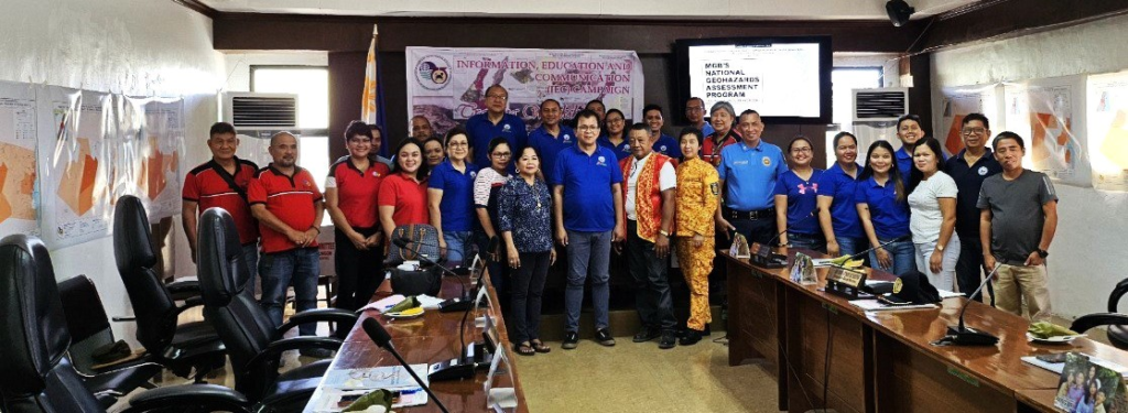
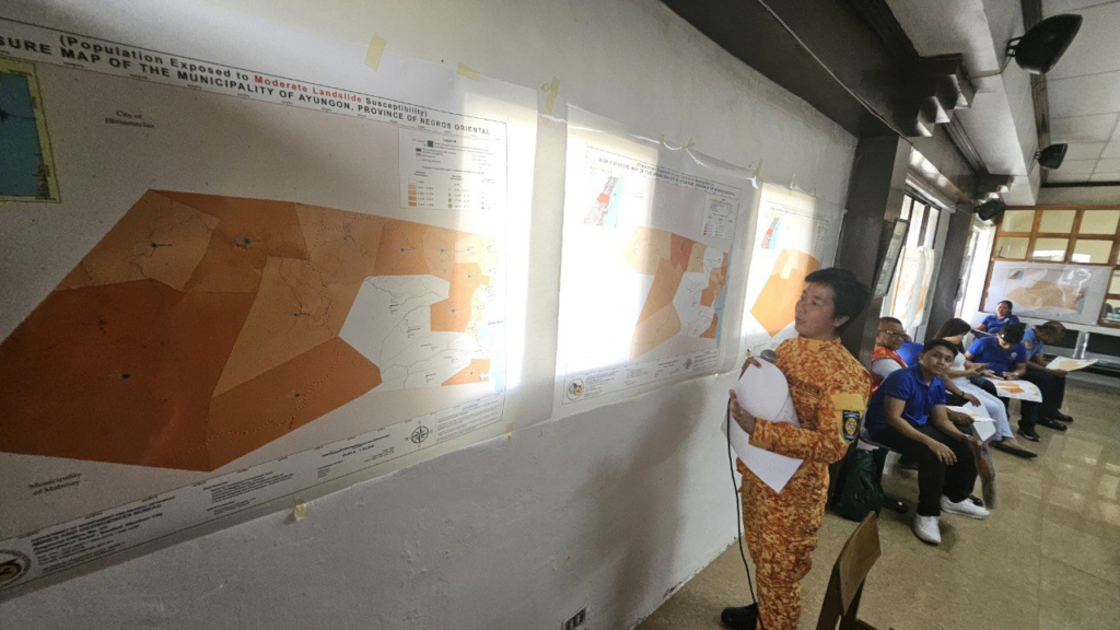
𝐀𝐩𝐫𝐢𝐥 𝟑𝟎: 𝐈𝐄𝐂 𝐂𝐚𝐦𝐩𝐚𝐢𝐠𝐧 𝐨𝐧 𝐔𝐧𝐝𝐞𝐫𝐬𝐭𝐚𝐧𝐝𝐢𝐧𝐠 𝐑𝐢𝐬𝐤 𝐄𝐱𝐩𝐨𝐬𝐮𝐫𝐞 𝐌𝐚𝐩𝐬 𝐢𝐧 𝐋𝐆𝐔 𝐀𝐲𝐮𝐧𝐠𝐨𝐧, 𝐍𝐞𝐠𝐫𝐨𝐬 𝐎𝐫𝐢𝐞𝐧𝐭𝐚𝐥
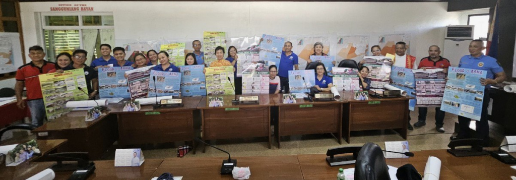
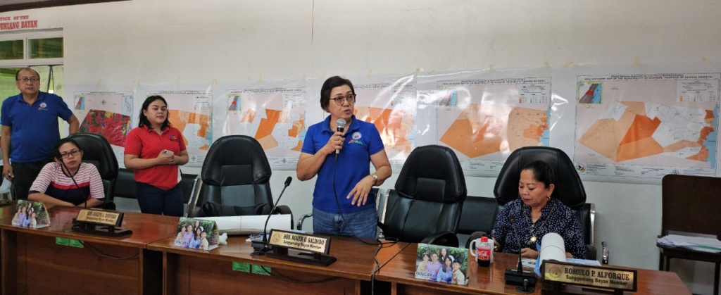
Look: Around 30 participants attended an event last Tuesday in the Municipality of Ayungon, Negros Oriental, where they learned about Risk Exposure Maps. Organized by the Mines and Geosciences Bureau (MGB) 7, this session was attended by local officials and department heads, and their representatives.
Municipal Vice Mayor Nella A. Favillaran and Sangguniang Bayan Members Hon. Lee F. Dy and Hon. Tessa Claire M. Olveros actively engaged throughout the campaign, expressing satisfaction in understanding how to interpret these maps.
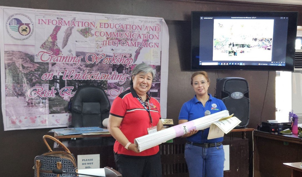
After the training, participants who completed the program received copies of the Risk Exposure Maps. These maps, provided by the Mines and Geosciences Bureau, are vital tools for local governments. They help identify geological hazards, enhance disaster readiness, and facilitate land use planning. Additionally, they are crucial in guiding infrastructure development, building resilience to climate change, and raising community awareness.
Municipal Mayor Hon. Dennis N. Amancio thanked the MGB 7 Team for organizing the training. He pledged to use the maps effectively in future planning and risk management efforts.
The MGB 7 Team was led by Josephine T. Aleta (Supervising Geologist), along with Miguela Mae E. Gonzales (Geologist), Harry P. Minoza (GIS Specialist), and Heart Rizarri (Information Officer
