Some 81 barangays in Negros Oriental covering one city and three municipalities are up for a four-week geohazard assessment and mapping using a scale of 1:10,000 from May 28 to June 26.
“This is to show more details of the area covered by the map as the densification of geohazard and climate change maps is among the major projects to be implemented this year by the Mines and Geosciences Bureau (MGB) of the Department of Environment and Natural Resources (DENR),” said MGB-7 Regional Director Loreto B. Alburo.
A team of senior geologists composed of Maria Elena S. Lupo, Josephine T. Aleta, and Abraham R. Lucero, Jr. will be determining the vulnerability of each barangay to landslides and flooding including coastal erosion, storm surges, and coastal flooding.
Among the details that can be found in a 1:10,000-scale geohazard map include parameters or features in the area that may affect ground stability and the type of landslides that can possibly occur in the area.
The 3-member team will also look into sites in a barangay where relocation or evacuation areas will be identified.
Alburo said priority in the densification project will be maps of 30 barangays inDumagueteCity, 24 barangays inValencia, 14 barangays inSan Jose, and 13 barangays in Sibulan.
The 1:10,000-scale geohazard map is expected to be completed in 2014.
“The geohazard or climate change maps will then be distributed to concerned local government units with continuing information and education campaign support to local chief executives and other members of the community or barangay” said DENR-7 Regional Executive Director Maximo O. Dichoso.
“The assessment team will then be issuing appropriate warnings and geohazards advisories to be received by any barangay official so that they can begin with initiating measures to reduce possible impacts or effects of these geological hazards,” Alburo explained.
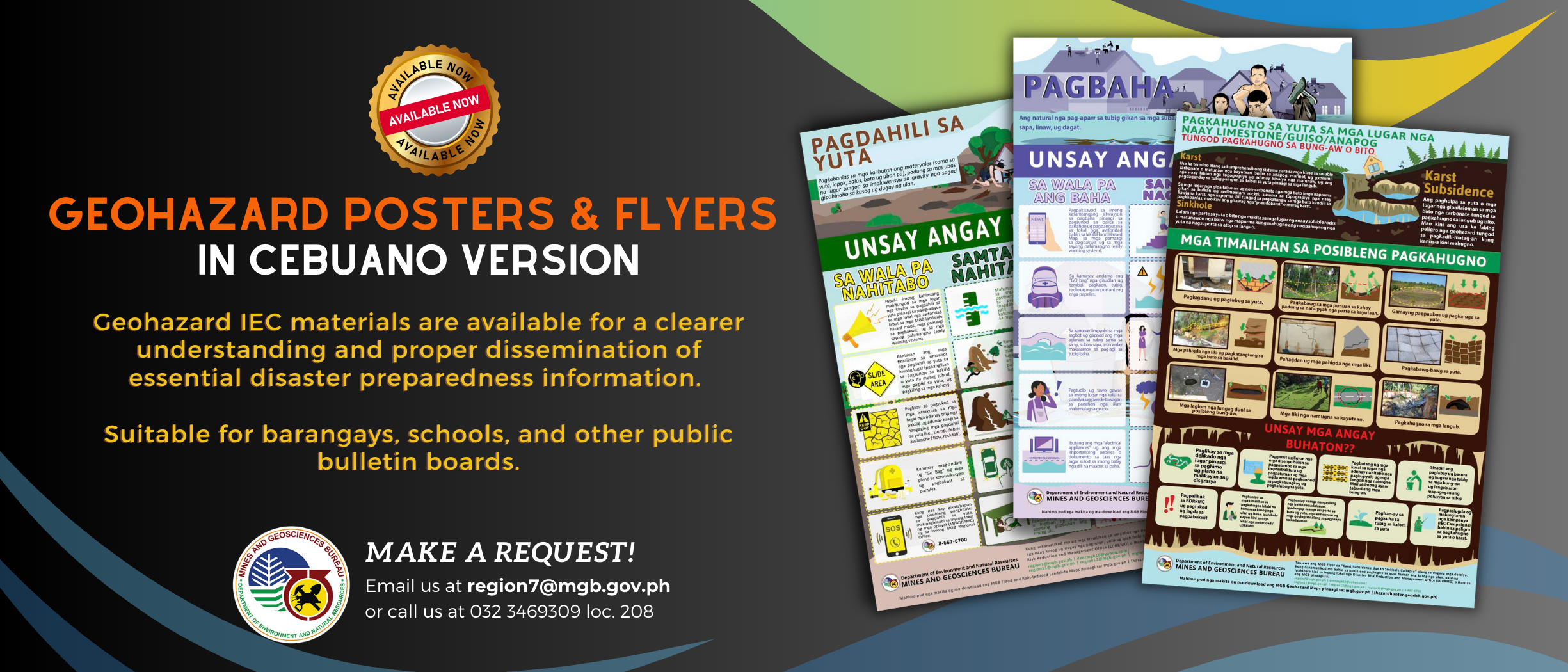
In a related development, the 1-50,000-scale geohazard maps are now accessible and downloadable in four government websites, including that of a non-government organization.
The government websites hosting the interactive geohazard maps include that of the DENR (www.denr.gov.ph), Mines and Geosciences Bureau (www.mgb.gov.ph), Philippine Information Agency (www.pia.gov.ph) and that of Environmental Science for Social Change (www.essc.org.ph).
Dichoso articulated that DENR Secretary Ramon J. P. Paje said the move is to broaden public access to the geohazard maps, which has become an important tool in disaster risk reduction and management.


