The Mines and Geosciences Bureau (MGB) 7 has recently issued anew advisories to nearly 20 local chief executives in region 7 on the possibility of landslides and flooding as a result of Typhoon Pablo which brings more rains.
MGB-7 Regional Director Loreto B. Alburo made a warning amidst the reports by the weather bureau that heavier rains which has an estimated rainfall amount from 15 to 30 millimeters or heavy to intense within the 600-kilometer radius.
“It is highly important that our local officials should pay attention of critical areas which have been known to them as indicated in the geohazards threat advisory issued to them,” he stressed.
Alburo strongly recommended to the local chief executives to prohibit habitation in areas declared as “highly susceptible” to flooding and landslides by the MGB of the Department of Environment and Natural Resources (DENR) to protect people’s lives and pieces of property.
In an advisory dated December 3 issued to the four provinces, six cities, and five municipalities in Central Visayas, Alburo advised them to take the most appropriate measures or interventions in areas that will be adversely affected by the typhoon.
He also urged them to convene the provincial, municipal or city disaster risk reduction and management council and refer the results of the geohazard assessment conducted by MGB 7.
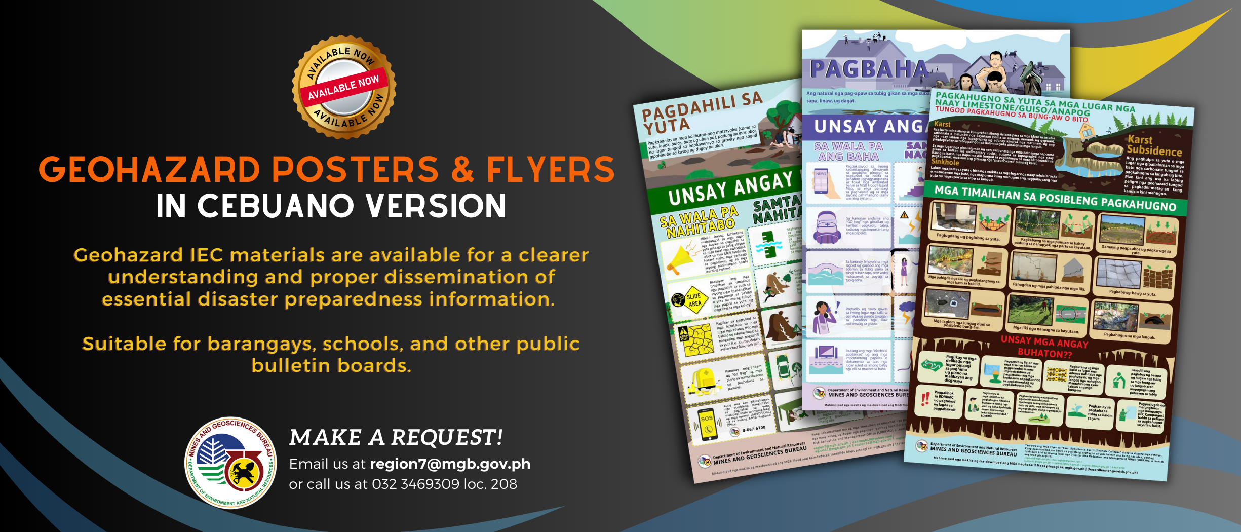
Meanwhile, to facilitate easy access of the geohazards maps, the said maps in a 1-50,000-scale are now available and downloadable in four government websites, including that of a non-government organization.
The government websites hosting the interactive geohazard maps include that of the DENR (www.denr.gov.ph), Mines and Geosciences Bureau (www.mgb.gov.ph), Philippine Information Agency (www.pia.gov.ph) and that of Environmental Science for Social Change (www.essc.org.ph).
Alburo explained that possible safe evacuation or temporary settlement sites are also identified in the said advisory.


