PIA: MGB 7 encourages LGUs to use Geohazard Map
CEBU CITY, Cebu, June 9 (PIA) — The Mines and Geosciences Bureau (MGB) Region 7 is encouraging the local government units (LGUs) to use geohazard maps to boost disaster preparedness and management.
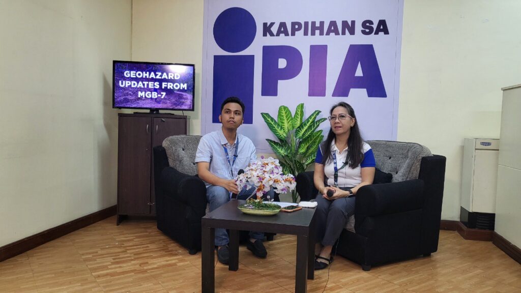
Hydrogeology and Environmental Geology Section and Geosciences Division Supervising Geologist and Section Chief Maria Elena Lupo disclosed during the Kapihan sa PIA interview on June 7 that geohazard maps play a crucial role in land development and usage.
Geohazard maps are specialized maps that indicate the hazard susceptibility of areas.
Lupo added that the updated geohazard maps distributed to LGUs contain information on landslide-prone areas and flooding.
Aside from the distribution of the maps, MGB also holds Information, Education, and Communication (IEC) meetings with the LGUs to further explain the geohazard map.
“The main purpose of this map is safety,” said Lupon.
As of June 2023, IEC meetings and the distribution of geohazard maps to 132 municipalities including barangays have already been conducted by MGB7.
If there are storm advisories from the Philippine Atmospheric, Geophysical and Astronomical Services Administration (PAGASA), MGB barangay listings are also done to lessen the disastrous effects especially to flood-prone areas.
MGB7 also works closely with the municipal planning and engineering offices, and the National Disaster Risk Reduction and Management Offices for urban planning.
MGB, together with the Office of the Civil Defense, also oversees the assessment of areas for resettlements proposed by LGUs.
Government infrastructure projects under the Department of Public Works and Highways also seek geohazards certification from MGB prior to the construction of their projects. (MYP/PIA7 Cebu)
Posted at: https://pia.gov.ph/news/2023/06/13/mgb7-encourages-lgus-to-use-geohazard-map
Photo: