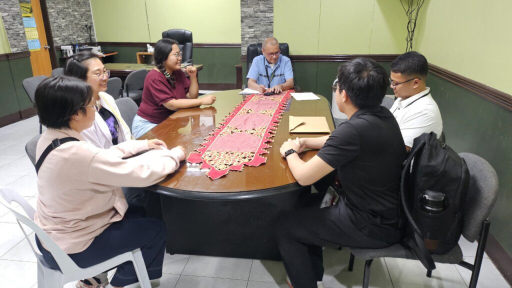
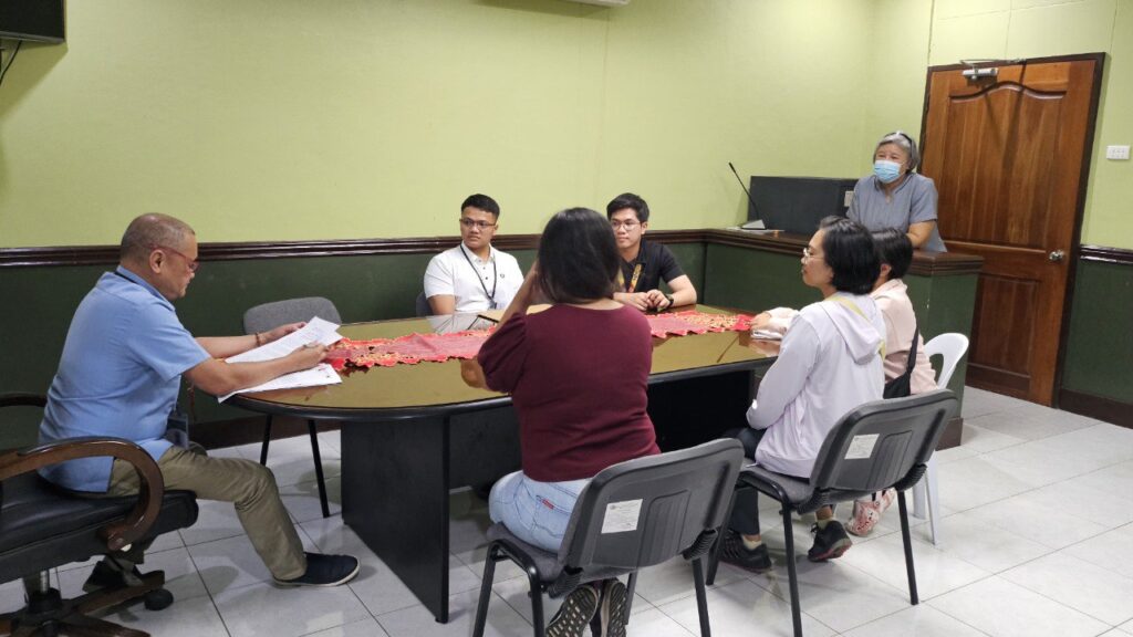
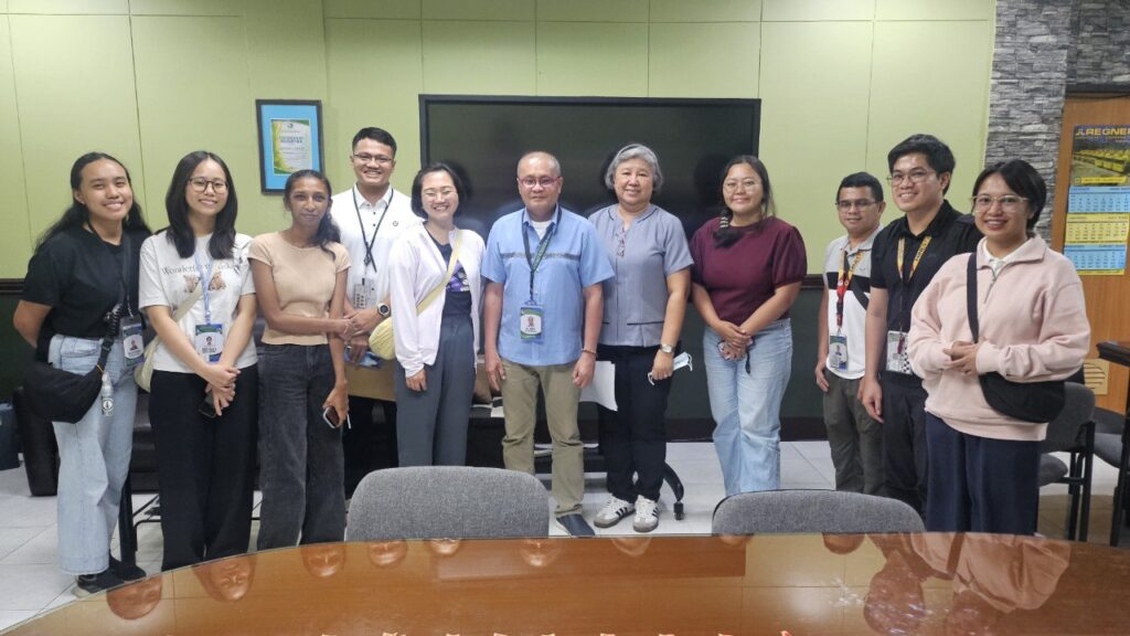
MGB CO Team Conducts Coastal Hazards (Physical) Vulnerability Assessment and Mapping in Cebu LGUs
PHOTOS | July 4, 2025: The survey team for the Coastal Hazards (Physical) Vulnerability Assessment and Mapping Project made a courtesy call to Al Emil G. Berador, MGB 7 OIC Regional Director and Concurrent Chief of the Geosciences Division, MGB-7, together with Josephine T. Aleta, Supervising Geologist and Chief of the Geohazards and Engineering Geology Section.
The courtesy call marked the start of a field assessment (July 3–31, 2025) under the Nationwide Study of Coastline Shift and Associated Hazards by the Mines and Geosciences Bureau Central Office. The project focuses on assessing coastal vulnerability in selected municipalities and cities in Cebu Province, including Aloguinsan, Barili, Dumanjug, Moalboal, Pinamungahan, San Fernando, and the cities of Carcar and Naga.
OIC RD Al Emil G. Berador expressed his support and appreciation for the MGB Central Office’s initiative, recognizing the Coastal Hazards (Physical) Vulnerability Assessment and Mapping program as a vital contribution to advancing coastal geohazard evaluation and evidence-based planning for Cebu LGUs.
The ongoing assessment aims to generate updated coastal geomorphic maps, hazard advisories, and vulnerability reports to support disaster risk reduction and coastal resource management at the local government level.
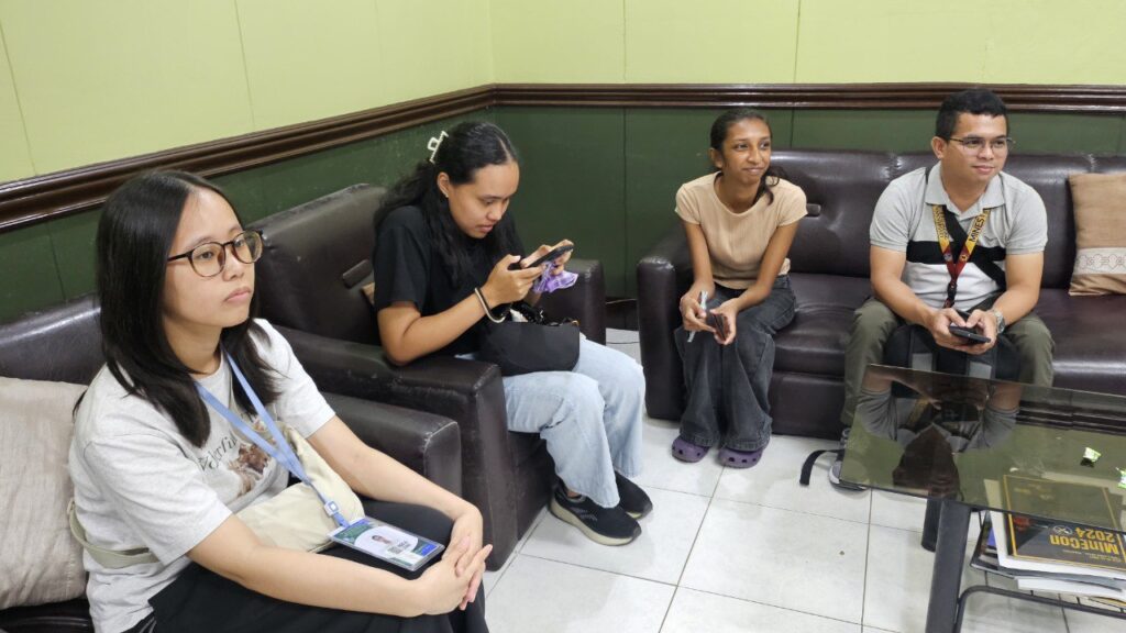
The survey team includes:
Kristine Joy L. Motol, Chelsi Grace S. Mendoza, Joshua T. Herras, Laila Carmela T. Masangkay, Rio Angela F. Castro, Ma. Catherina P. De la Cruz, Leanna Marie M. Peter, John-David D. Bugante, Alexis B. Bermudo, Mamerto D. Resubal, Arnela Lira L. Bacolod, Florendo Martin Q. Cajucorn, Lito B. Gago, and Lawrence L. Gamboa. (IO/Heart Rizarri)