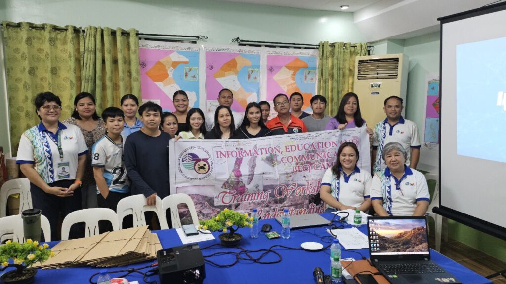
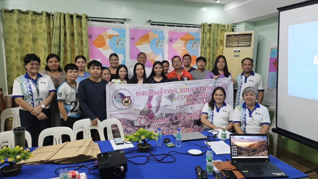
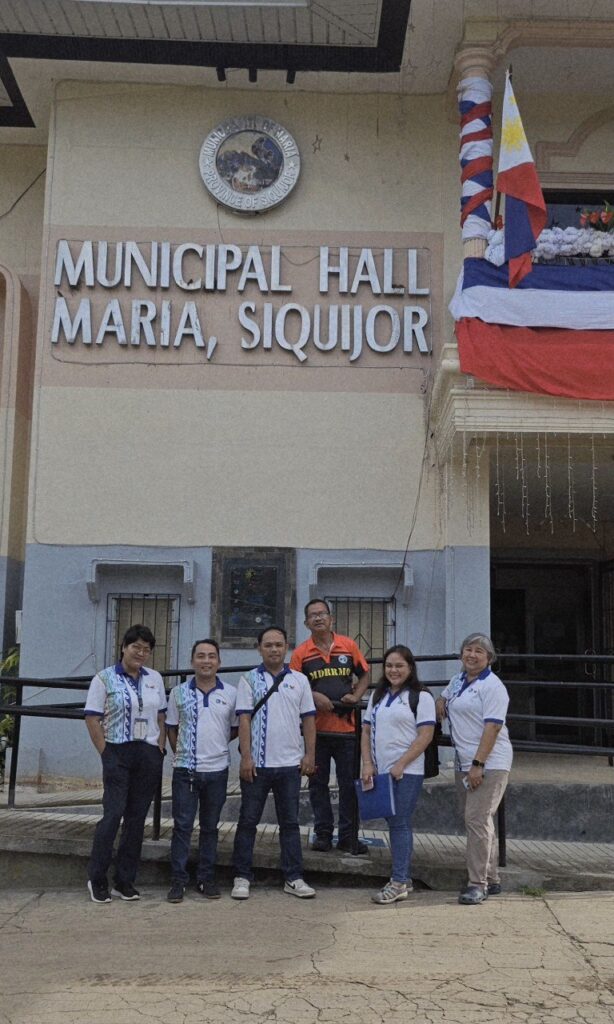
The Municipality of Maria in the Province of Siquijor took a step toward strengthening its disaster risk reduction and management efforts by holding a one-day Vulnerability and Risk Assessment–Information, Education, and Communication (VRA-IEC) Workshop on June 13, 2025. The activity was spearheaded by the Mines and Geosciences Bureau 7 (MGB7) under its National Geohazard Assessment and Mapping Program.
Held in collaboration with local government officials, the workshop aimed to enhance the capacity of Maria’s Municipal Disaster Risk Reduction and Management Office (MDRRMO), planning officers, and municipal departments in understanding, interpreting, and utilizing geohazard information to support evidence-based planning and preparedness.
Enhancing Geohazard Awareness and Local Capacity
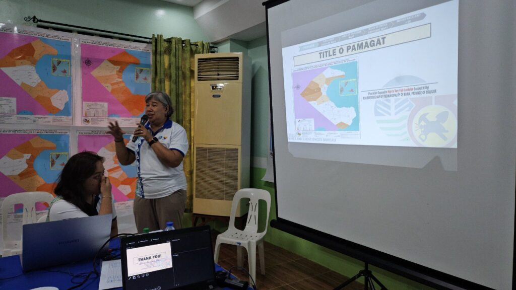
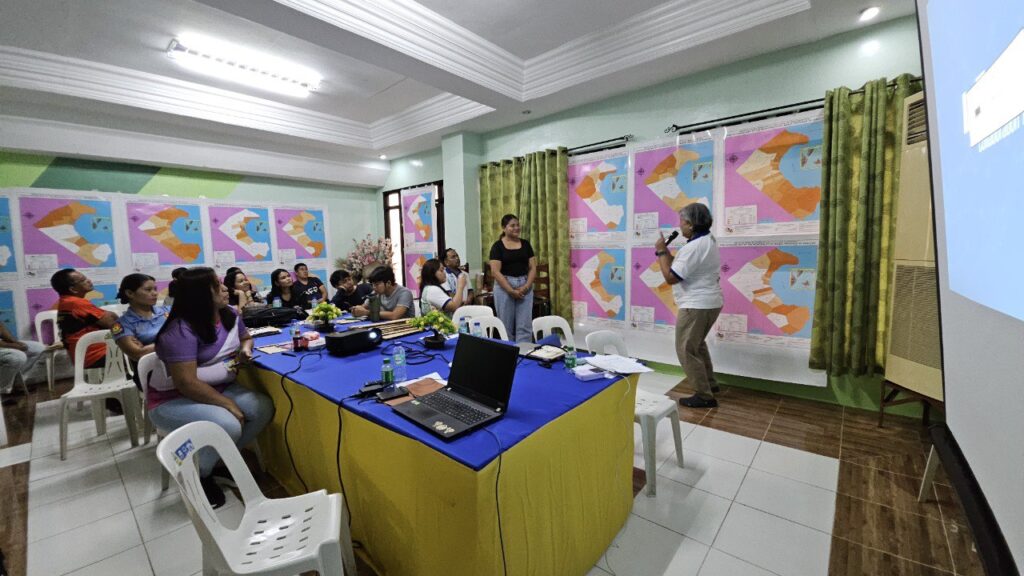
Early sessions introduced participants to the fundamental concepts of Geologic Hazards, as well as the MGB’s National Geohazard Assessment and Mapping Program. The updated Geohazard Susceptibility Map of the Municipality of Maria was then presented, sparking interest and discussion on its implications for local land use and development planning.
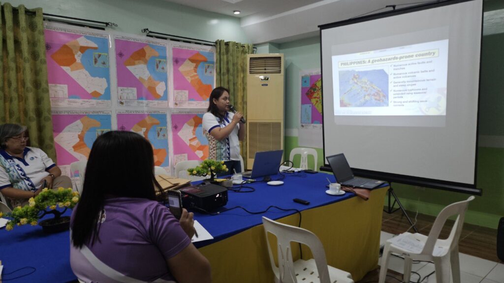
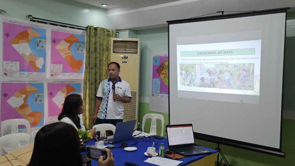
A technical session followed, focusing on MGB’s Vulnerability and Risk Assessment (VRA) and Risk Exposure Assessment (REA) projects. These tools help local government units (LGUs) identify which areas and sectors are most vulnerable to hazards.
Gender-Inclusive Planning and Map Reading
After a brief lunch break, the discussion shifted toward inclusive planning, with a session on Mainstreaming Gender and Development (GAD) and the Role of Women during Disasters. This component emphasized the need to incorporate gender sensitivity and support for vulnerable sectors, such as persons with disabilities, into disaster preparedness frameworks.
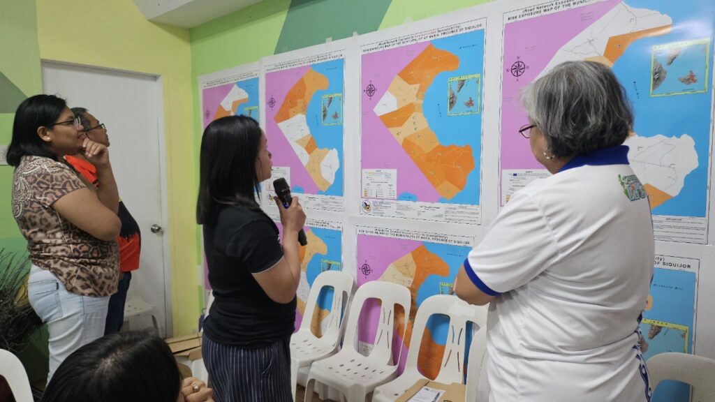
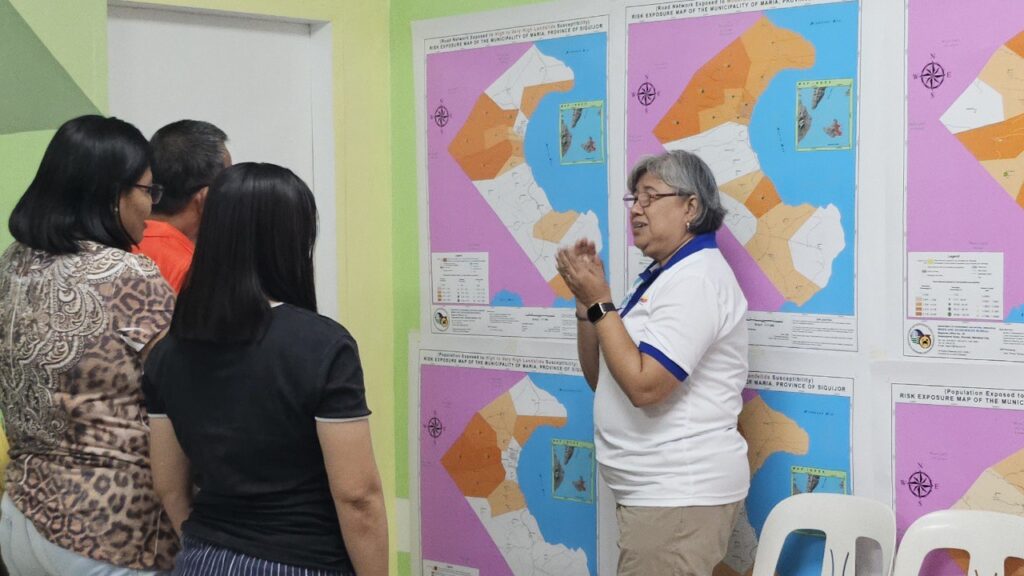
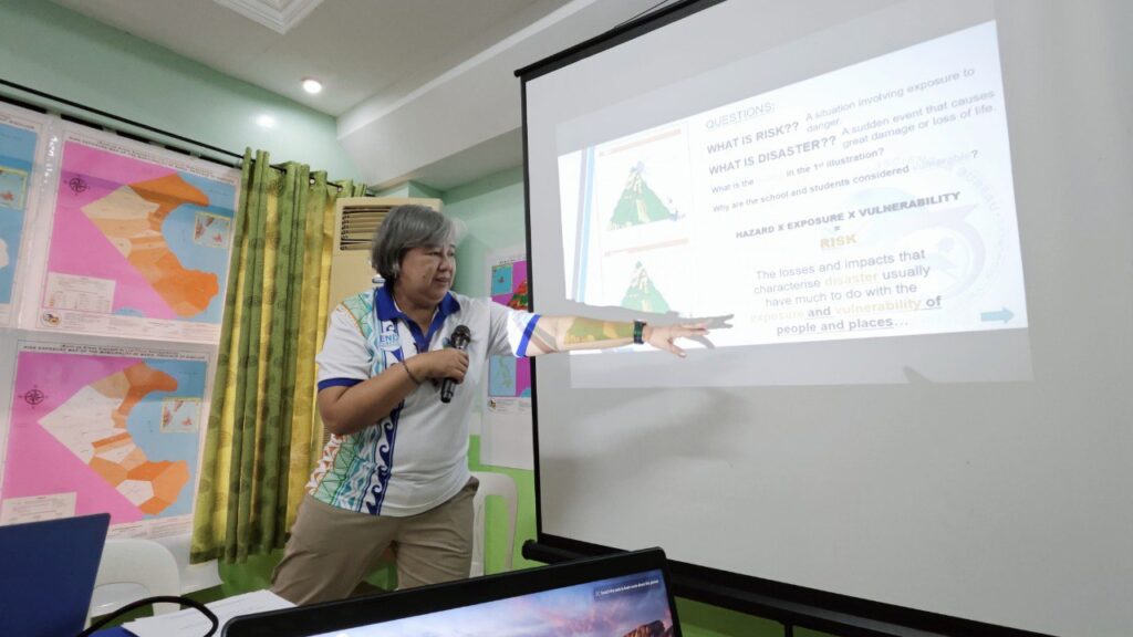
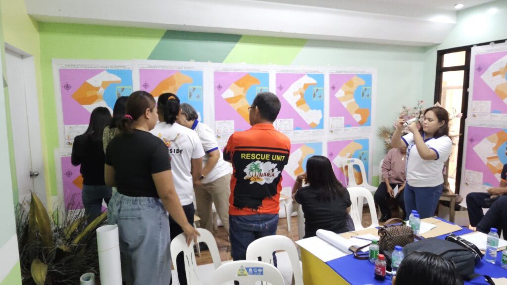
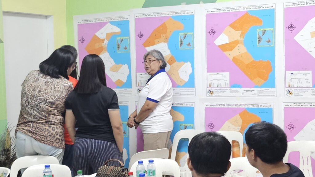
Participants then engaged in a workshop session focused on Risk Exposure Maps (REMs), which emphasized the practical application of map reading and interpretation. Ms. Josephine T. Aleta guided participants through the process of analyzing the REMs. She asked them targeted questions based on the information presented on the maps. This interactive exercise aimed to assess their understanding and ability to interpret key geohazard data. The activity provided an idea for participants to apply what they had learned, ensuring they could accurately read and utilize the REMs for planning and decision-making in their respective local contexts.
Turnover of Resources
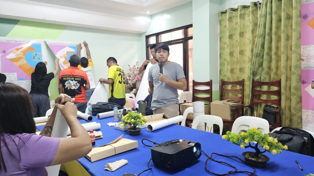
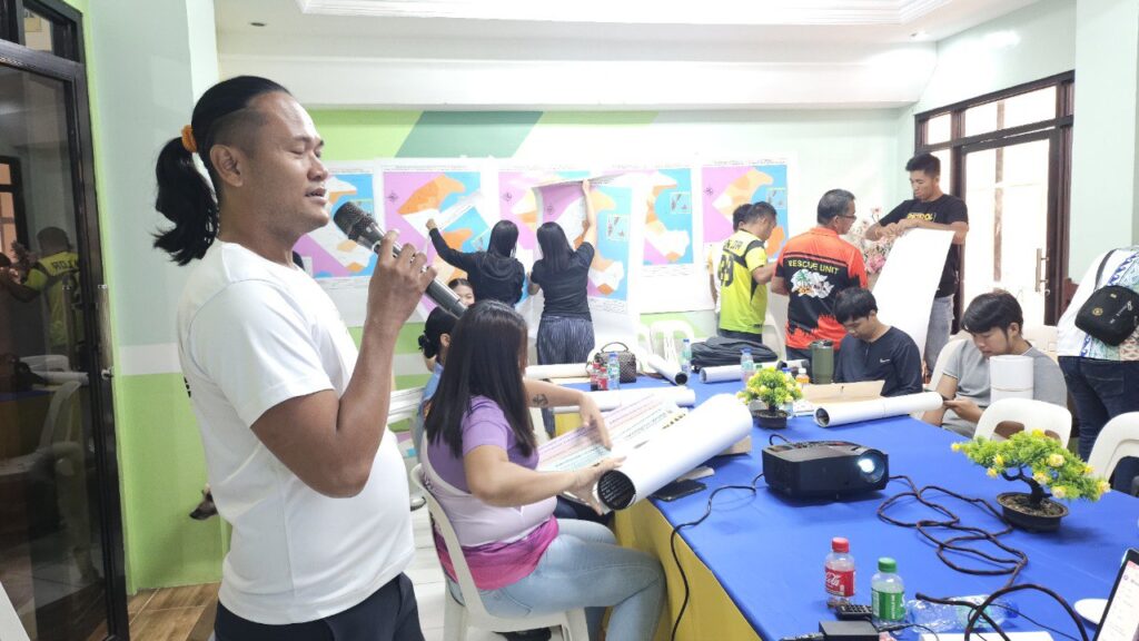
The activity culminated with the distribution of updated REMs, geohazard maps, and technical reports to the LGU of Maria. These materials will support the integration of disaster risk information into the municipality’s Comprehensive Land Use Plan (CLUP), Local Disaster Risk Reduction and Management Plan (DRRM Plan), and other development frameworks.
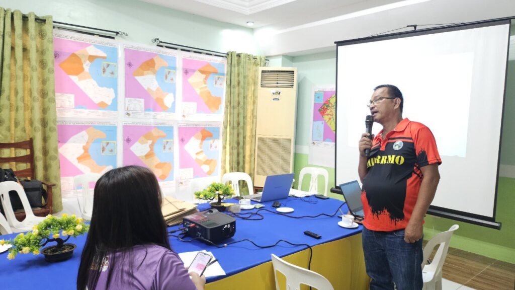
Municipal DRRM Officer Engr. Joel Tingcang delivered both the opening and closing remarks, expressing his appreciation for the workshop’s straightforward, hands-on, and participatory approach. He also conveyed his hopes for continued collaboration with MGB 7 in strengthening the municipality’s disaster preparedness and resilience efforts.

The session was facilitated by resource persons from MGB 7, namely Josephine T. Aleta, Supervising Geologist of the Geohazards and Engineering Geology Section; Miguela Mae E. Gonzales, Geologist; Genere John B. Sarpamones, GIS Specialist; and Heart Rizarri, Information Officer. (IO/MGB7)
Photos: