
The purpose of the Geohazard Certification is to ensure the suitability and safety of a project site proposed for the government buildings, roads and other establishments to adequately and comprehensively address and mitigate the possible effects/impacts of geologic hazards.
-
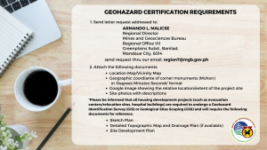
Send a letter request addressed to:
AL EMIL G. BERADOR
Regional Director
Mines and Geosciences Bureau
Regional Office VII
Greenplains Subd., Banilad
Mandaue City, 6014Send the request through email: region7@mgb.gov.ph
-
Attach the following documents:
- Location Map / Vicinity Map
- Geographic coordinates of corner monuments (Mohon) in Degrees-Minutes-Seconds (DMS) format
- Google image showing the relative location or extent of the project site
- Site photos with descriptions
All housing development projects such as evacuation centers, relocation sites, and hospital buildings are required to undergo a Geohazard Identification Survey (GIS) or Geological Sites Scoping (GSS). The following additional documents may also be required:
- Sketch Plan
- Detailed Topographic Map and Drainage Plan (if available)
- Site Development Plan
