Empowering Local Communities: MGB 7’s VRA-IEC Campaign in Siquijor Province
Posted: April 19, 2023
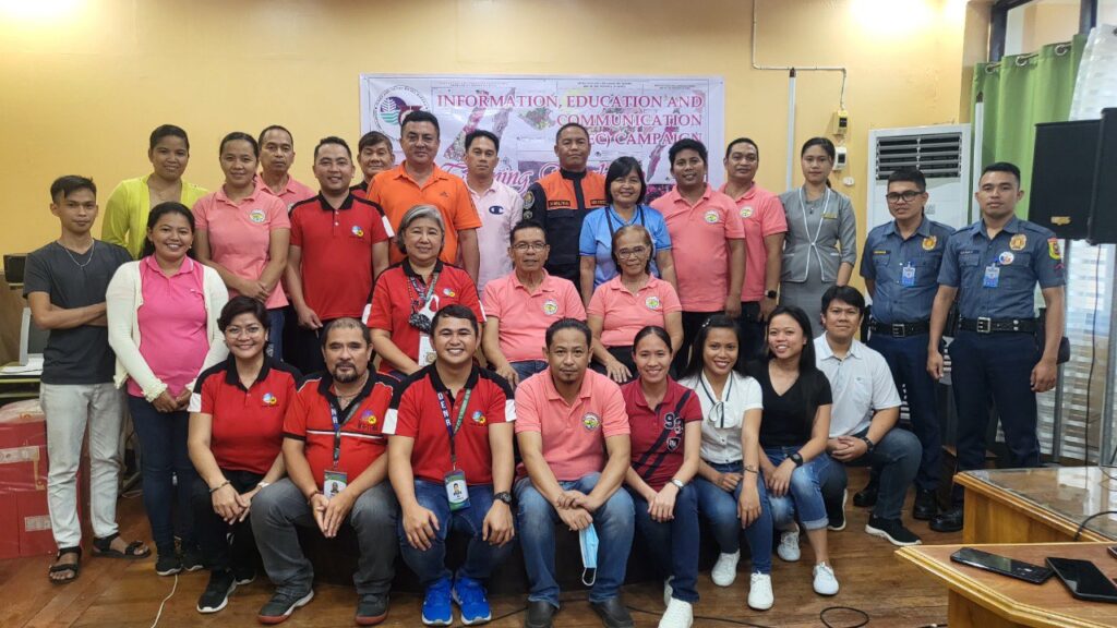
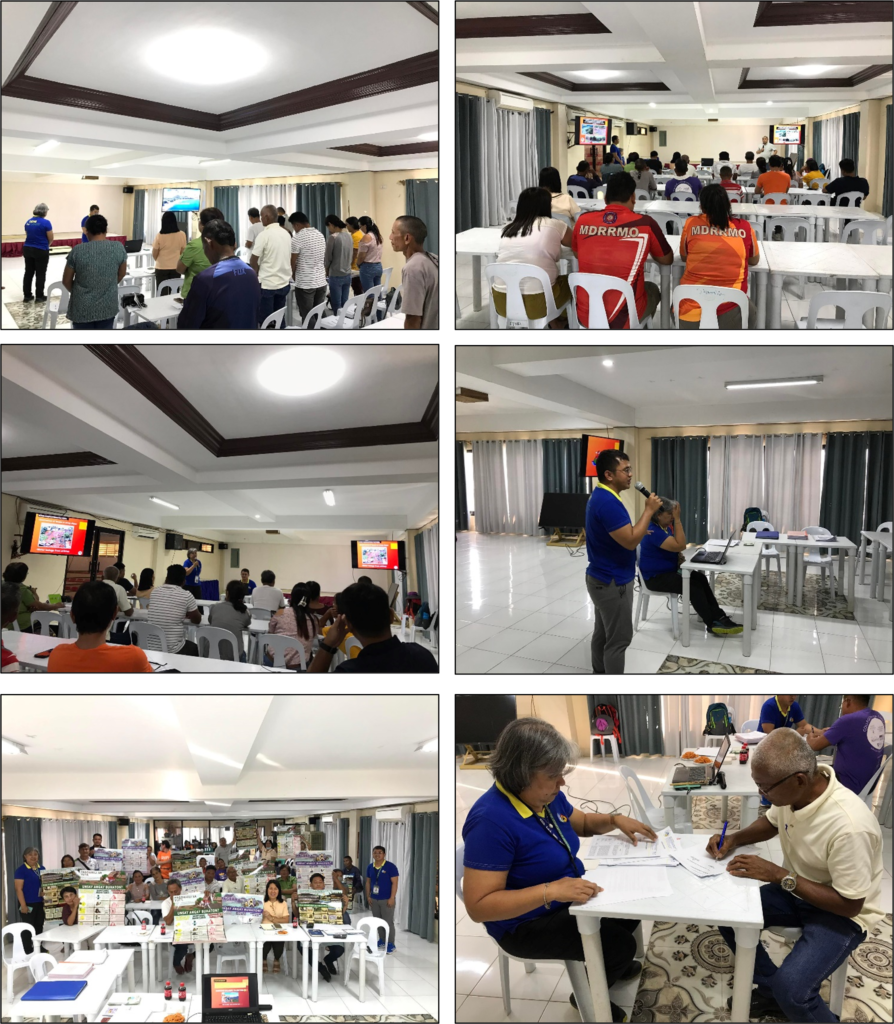
The Mines and Geosciences Bureau (MGB) 7 recently organized an Information, Education, and Communication Campaign on Vulnerability Risk Assessment (VRA-IEC) in the Municipality of Lazi, Siquijor Province.
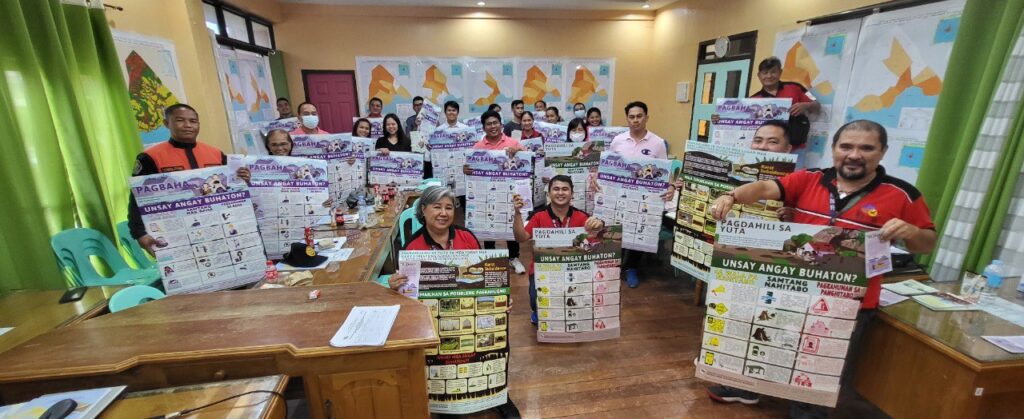
This event is part of the DENR-MGB’s National Geohazard Assessment and Mapping Program, which aims to increase awareness and provide technical assistance to the Local Government Unit (LGU) on Risk Exposure Analysis.
The activity emphasized the importance of achieving sustainable development through Comprehensive Land-Use, Development, and Disaster Risk Management Planning.
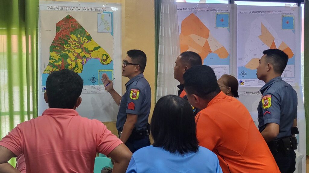
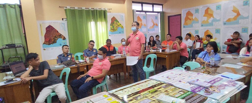
During the campaign, the MGB-7 team led by Supervising Geologist Josephine T. Aleta, discussed several topics, including Understanding Geologic Hazards, MGB’s National Geohazard Assessment Program, Introduction to Vulnerability and Risk Assessment, and Production of Risk Exposure Maps.
They also conducted a workshop on Risk Exposure Assessment, discussed Mainstreaming Gender and Development (GAD) Program in VRA, and addressed concerns and issues after each presentation. MGB-7 provided the VRA Technical Reports and three (3) sets of Risk Exposure Maps, which were turned over to the municipal officials and department heads, local officials of the Philippine National Police (PNP), Bureau of Fire Protection (BFP), Department of Education (DepEd), and Department of the Interior and Local Government (DILG).
At the end of the campaign, Lazi Mayor Phil Moore D. Largo expressed appreciation and gratitude to the MGB-7 team for their efforts in conducting the VRA, providing geohazard and risk exposure maps, technical assistance, and training workshop. Mayor Largo acknowledged the significance of the specialized maps as their guide and how they boost disaster preparedness and Climate and Disaster Risk Assessment planning.
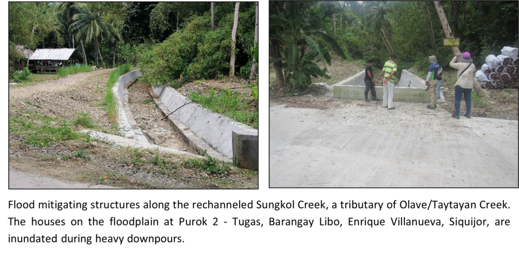
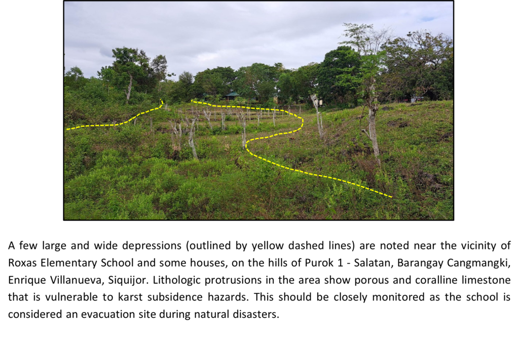
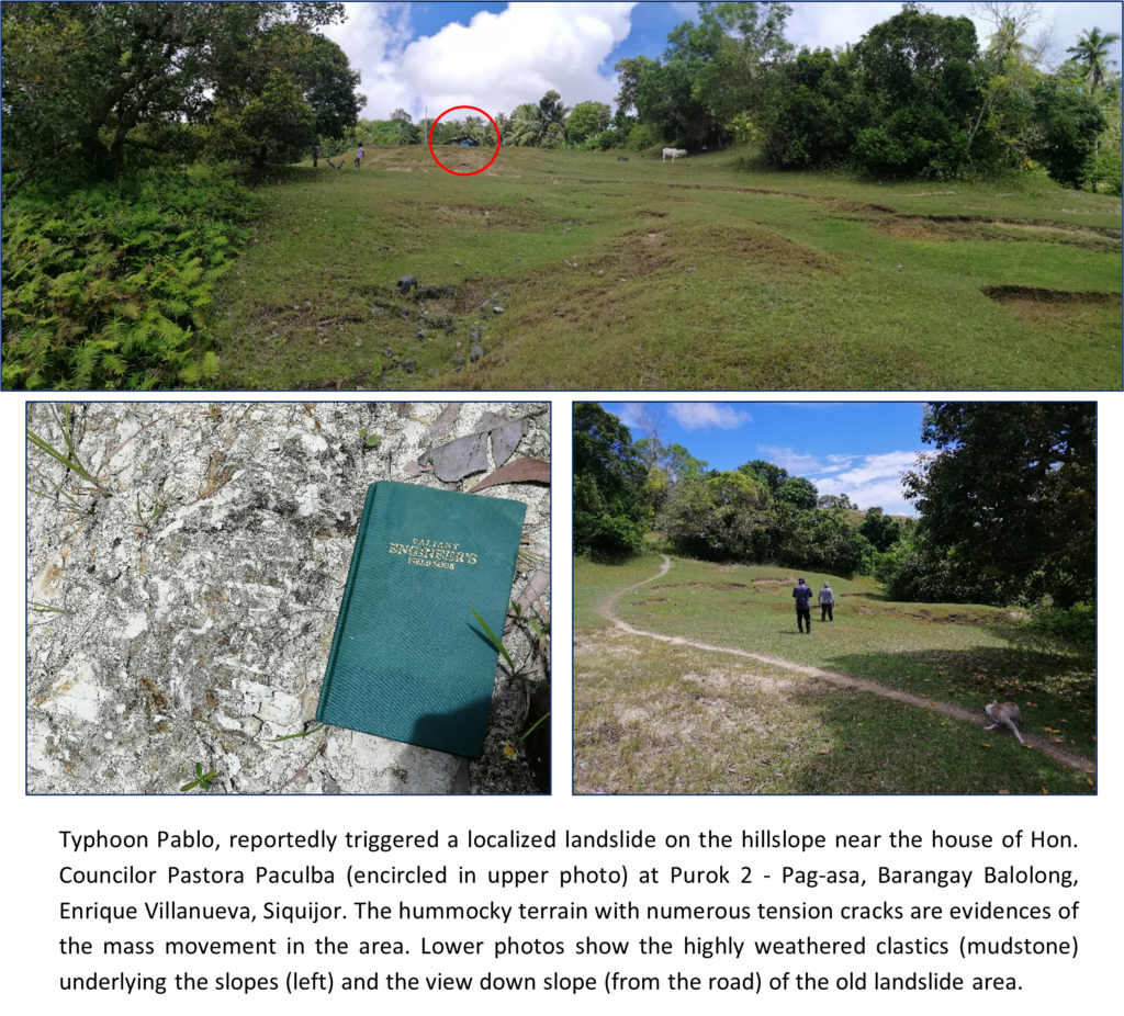
In addition to the IEC activity, the geologists from the Geohazard and Engineering Geology Section (GhEGS) completed Coastal Geohazard Mapping and Assessment in the island province of Siquijor during the first quarter of this year, as well as Vulnerability and Risk Assessment (VRA) and Updating of 1:10,000-scale Geohazard Map. While the coastal survey took place in both the Municipalities of Enrique Villanueva and Maria, the VRA and updating activity was exclusively undertaken in the Municipality of Enrique Villanueva.
GhEGS has planned additional initiatives in the coming future to assist the local government units of Central Visayas in formulating disaster preparedness strategies and contingency plans.
/Heart Rizarri (IO/MGB7)