


by Marian Z. Codilla
Landslide is one of nature’s most powerful and destructive forces – it strikes wherever the rock and soil are loosened by rain or by gravity.
In Central Visayas, landslides occur in almost all towns and cities but some landslides are more dangerous than others.
Torrential rains usually trigger widespread landslides in areas where slopes are steep, where bedrocks are weathered, fractured, and loose. It also frequently occurs in areas where people have altered the natural landscapes or stripped its vegetation.
One of the most massive and damaging landslides to have occurred in Central Visayas was in the upland barangays of Cebu City. Close to a hundred families were evacuated in barangay Sirao, and ten vehicles were buried in sitio Garahe, in barangay Busay in two separate landslides.
At least 38 households were also evacuated after a minor landslide hit barangay Uling in Naga.
Although there were only five houses that were directly affected by the landslide path, all the other households living within the danger zones were already asked to go to a safer ground near the barangay hall.
Barangay Uling has a history of mass movement. The bureau recommended for continuous monitoring of the tension cracks as the landslide toe is still moving.
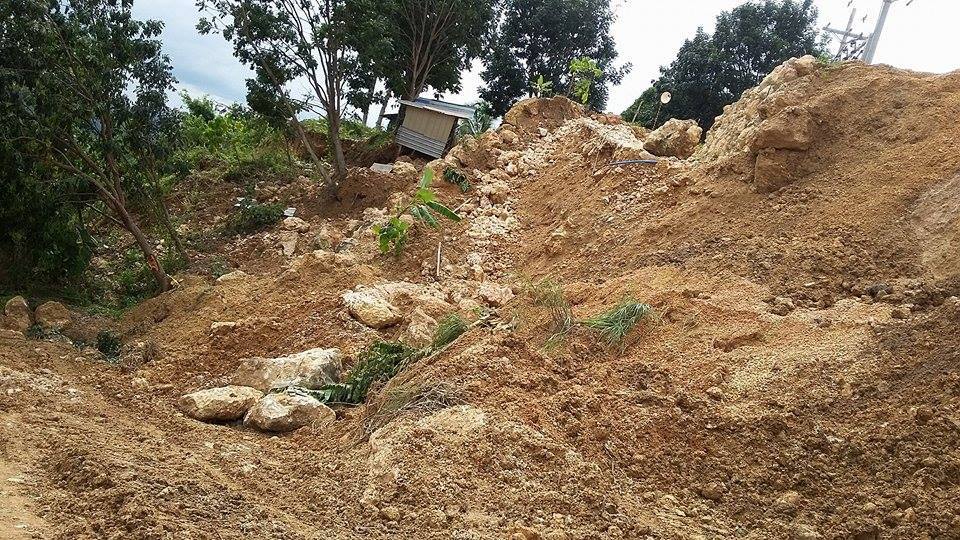
In barangay Sirao, where its lithology is a combination of sandy, clayey and a weathered bedrock, a mass movement is typical.
The ground is unstable making it unfit for human settlement. Our geologists have noticed old landslide areas that have already grown vegetation. Slope failures are everywhere exhibiting visible cracks and slumps.
After the rains, the ground may compress and stabilize. Residents may go back to their homes but the ground will remobilize after another downpour, and another landslide may occur.
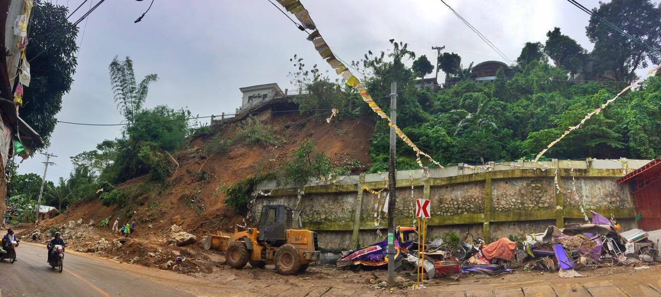
The incident in Garahe, Busay in Cebu City was another case of mass wasting caused by oversaturation of heavily weathered volcanic rocks.
While a riprap was constructed to protect and stabilize a slope, this could not hold a massive collapse of altered volcanic rocks. Not even vegetation could stop the landslide.
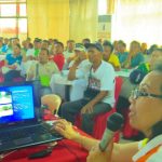
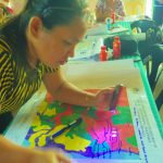
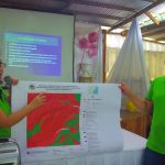
The Mines and Geosciences Bureau have completed its geological hazard mapping in the country. The coverage of the geological mapping is specific down to the sitio level. Several information, education and communication campaigns have been launched in the region including Cebu.
Among those involved in the geohazard workshops are the barangay captains, barangay councilors, local disaster risk reduction units, teachers, barangay tanods, and some officials of the people’s organization. Copies of the geohazard maps, including map coordinates of specific geologically hazardous areas were distributed.
Disasters such as landslides have happened before in the areas specified and may happen again. People who live in these locations will continue to live with the threat of landslides.
While the bureau recommends total avoidance in areas that have high disaster susceptibility, some may insist to stay for various reasons that may be personal to them.
MGB-7 Director Loreto B. Alburo consistently reminded local government officials to be guided by the geohazard maps, implement early warning signs and conduct preemptive evacuation.
The bureau, as a recommendatory agency, does not have the mandate to stop construction of any private development. Government projects, however, cannot proceed without approval and certification from MGB.